Bob Carter, my hiking companion, and I, “needed” a high mountain hike to finish our summer. And so we left the afternoon of September 7 for the nearby Eagle Cap Wilderness. We started at the Wallowa Lake trailhead at 4400 feet, making a three day, thirty six mile loop up the East Fork of the Wallowa river and down the West Fork. In between, we crossed over the 9000 foot Polaris Pass, a formidable shale and scree challenge. Bob and I had crossed over this pass ten years ago, when we were in our early sixties. Geological time is not as long as it used to be — I am almost positive that the pass has risen a thousand feet, and getting there is three miles longer!
Memory aside, we did meet all the physical challenges, stretched our legs physically and emotionally, and enjoyed the crisp air and crisp colors of early fall in this outstanding high country.
 |
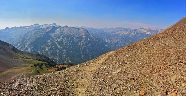
| Approaching Polaris Pass |
 |
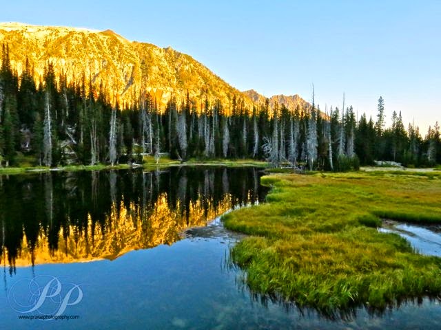
| Frazier Lake OR, Eagle Cap Wilderness |
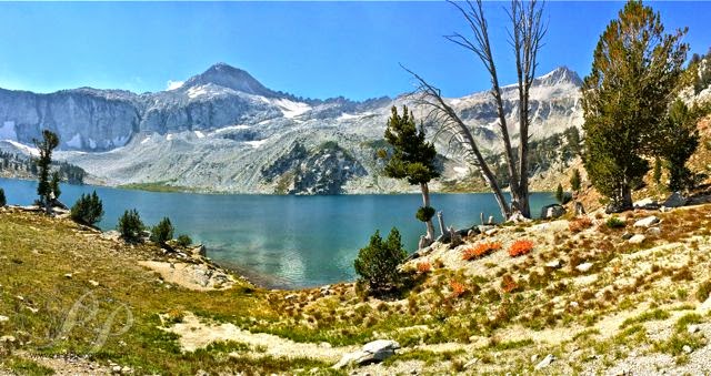 |
| Eagle Cap Wilderness, Glacier Lake OR |
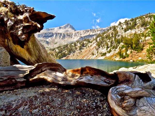 |
| Eagle Cap Wilderness, Glacier Lake |
 |
| Eagle Cap Wilderness, East Fork Wallowa River |
 |
| Eagle Cap Wilderness, Frazier Lake OR |
 |
| Eagle Cap Wilderness, stream coming out of Glacier Lake OR |
 |
| Eagle Cap Wilderness, trail to Glacier Lake |
 |
| trail view coming back down from Glacier Lake |
 |
| Eagle Cap Wilderness, Jewitt Lake |
 |
| Eagle Cap Wilderness, lupine below Polaris Pass |
 |
| Polaris Pass looking into the West Fork of the Wallowa River |
 |
| Bob coming down from Polaris Pass toward the west fork of the Wallowa River |
 |
| Eagle Cap Wilderness, Roger Lake OR |